| Mapping Toolbox | |
Composite Maps
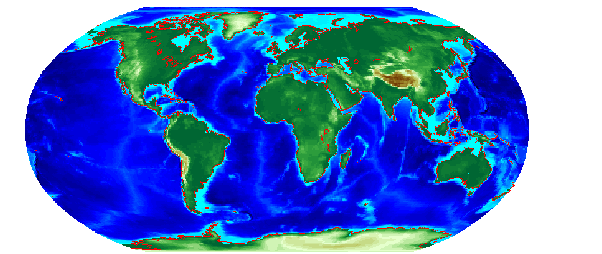
Many occasions arise in which vector map variables and matrix map variables are used or displayed together. For example, continental coastlines in vector form might be displayed with matrix temperature data to make the latter more useful. When several map variables are used together, regardless of type, they can be correctly referred to as a single map.
Since we have our coast and topo workspaces available from the previous examples, we can combine the two in a single map and see how well the two types of data correspond:
The remainder of this chapter will focus on the fundamental principles of geographic measurement and data manipulation that are a prerequisite for creating map displays. Displaying Maps takes up the topic of map display and interaction.
| | Matrix Maps | Geographic Measurement | |