| Mapping Toolbox | |
Thematic Map Functions
The Mapping Toolbox provides a wide variety of other display and symbology functions. The cometm and quiverm functions operate like their MATLAB counterparts, comet and quiver. The stem3m command allows you to display geographic bar graphs. Like the MATLAB scatter command, the scatterm function allows you to display a thematic map with proportionally sized symbols. The tissot function calculates and displays Tissot Indicatrices. For more information on these capabilities, consult the descriptions of these functions in the "Mapping Reference" section of the online Mapping Toolbox documentation.
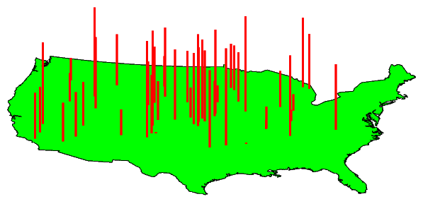
Here is an example of a stem plot over a map of the continental United States. The bars could represent anything from selected city populations to the number of units of a product purchased at each location:
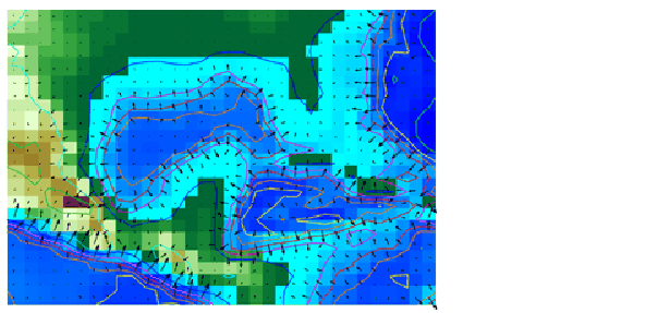
Contour and quiver plots can be extremely useful in analyzing matrix data. In the following example, contour elevation lines have been drawn over a topographical map. The region displayed is the Gulf of Mexico, obtained from the topo matrix. Quiver plots have been added to visualize the gradient of the topographical matrix.
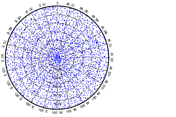
Here is an example of using the scatterm function to create a star chart of the northern sky. The stars are represented by filled circles whose size is proportional to visual magnitude. Star gazers may recognize the Big Dipper constellation, or Ursa Major, located at 180° W, 60° N:
| | Choropleth Maps | Cartesian MATLAB Display Functions | |