| Mapping Toolbox | |
Project a symbol map on the current map axes
Activation
| Command Line |
Maptool |
| scatterm |
Map Scatter Scatter |
Description
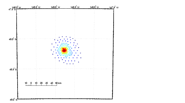
scatterm activates a Scatter Map Input dialog box to project a symbol plot onto the current map axes. A symbol map displays symbols proportionally sized to the data.
If no map axes are current, a No Map Axes dialog box appears. Choose Yes to activate the Projection Control dialog box for defining map axes properties. Upon creation of the map axes, the Scatter Map Input dialog box appears.
Controls
The Latitude variable edit box is used to specify the workspace variable containing the latitude coordinates for the scatter plot.
The Longitude variable edit box is used to specify the workspace variable containing the longitude coordinates for the scatter plot.
The Marker size variable edit box is used to specify the workspace variable containing the marker weights. The markers areas proportionally sized based on these weights. The marker size can also be a scalar, which is applied to all markers.
The Marker Color Variable edit box is used to specify the workspace variable containing the marker color data. The marker color data is linearly mapped to the colors in the colormap. The marker color data can also be a vector of RGB values or a color string.
Pressing the List button produces a list of all current workspace variables, from which the latitude, longitude marker size, and color variables can be selected.
The Marker Style popup menu is used to select the marker type..
The Filled check box is used to select unfilled (the default) or filled markers.
Pressing the Apply button accepts the input data and projects the scatter plot onto the current map axes.
Pressing the Cancel button disregards any input data and closes the Scatter Map Input dialog box.
See Also
scatterm
| | quiverm | scirclui | |