| Mapping Toolbox | |
Syntax
Graticule
Meridians: Complex curves concave towards the central meridian.
Parallels: Complex curves concave towards the nearest pole.
Symmetry: About the central meridian or the Equator.
Features
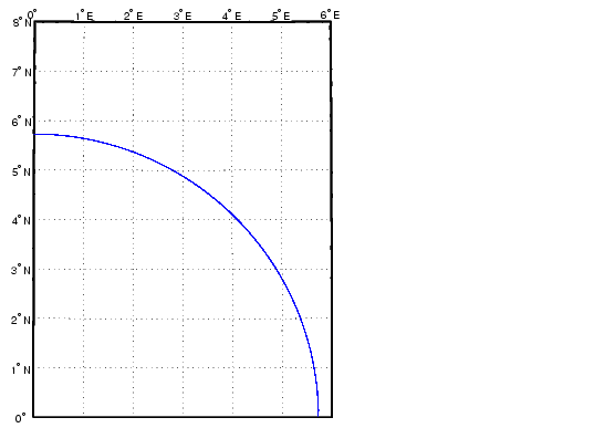
This is a conformal projection with parameters chosen to minimize distortion over a defined set of small areas. It is not equal area, equidistant, or perspective. Scale is true along two straight lines on the map approximately 180 kilometers east and west of the central meridian, and is constant along other straight lines equidistant from the central meridian. Scale is less than true between, and greater than true outside the lines of true scale.
Parallels
There are no standard parallels for this projection. There are two lines of zero distortion by virtue of the scale factor.
Remarks
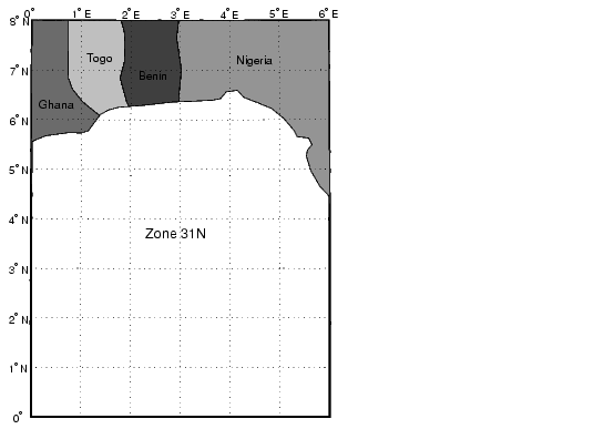
The UTM system divides the world between 80° S and 84° degrees N into a set of quadrangles called zones. Zones generally cover 6 degrees of longitude and 8 degrees of latitude. Each zone has a set of defined projection parameters, including central meridian, false eastings and northings and the reference ellipsoid. The projection equations are the Gauss-Krüger versions of the Transverse Mercator. The projected coordinates form a grid system, in which a location is specified by the zone, easting and northing.
The UTM system was introduced in the 1940's by the U.S. Army. It is widely used in topographic and military mapping.
| | Universal Polar Stereographic Projection | Van der Grinten I Projection | |