| Mapping Toolbox | |
Warp matrix map to a projected graticule mesh
Syntax
h = surfacem(map)
h = surfacem(map,npts)
h = surfacem(lat,lon,map)
h = surfacem(lat,lon,map,PropertyName,PropertyValue,...)
h = surfacem(lat,lon,map,alt)
h = surfacem(lat,lon,map,alt,PropertyName,PropertyValue,...)
Description
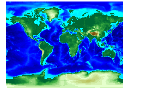
Unlike meshm and surfm, this command adds surfaces to the current axes, regardless of hold state. This command warps a matrix map to a graticule mesh, which itself is projected according to the map axes MapProjection property. The fineness, or resolution of this grid determines the quality of the projection and the speed of plotting it. There is no hard and fast rule for sufficient graticule resolution, but in general, cylindrical projections need very few graticules points in the longitudinal direction, while complex curve-generating projections require more.
h = surfacem(map) projects the matrix map map on a graticule grid the size of map between the latitude and longitude limits of the current map axes. The handle h of the displayed surface can be returned.
h = surfacem(map,npts) results in a graticule grid defined by npts, which is a two element vector of the form [latitude-points longitude-points]. The default npts is [50 100] (the graticule has 50 vertices in the latitude direction and 100 vertices in the longitude direction).
h = surfacem(lat,lon,map) allows greater graticule control through the inputs lat and lon. If matrices, they are the graticule vertex coordinates as might be returned by meshgrat. If vectors, they are the representative coordinates of the rows and columns, respectively, of such a grid. If they are two-element vectors, they are treated as latitude and longitude limits, and a graticule mesh the size of the default npts is calculated internally.
h = surfacem(lat,lon,map,alt) sets the z-axis altitude of the graticule mesh. alt must be the same size as lat. If no alt is supplied, the mesh is plotted at z=0, unless lat is the same size as map, in which case, zdata=map, and a 3-D topographical map results.
h = surfacem(lat,lon,map,PropertyName,PropertyValue,...) allows the input of property/value pairs to control the surface object properties. Any property supported by the standard MATLAB command surface except XData, YData, and ZData can be altered in this manner.
Examples
See Also
meshgrat |
Construct map graticule grid |
meshm |
Regular matrix map warped to projected graticule mesh |
pcolorm |
Projected matrix map in the z=0 plane |
surfm |
Matrix map projected on a map axes |
| | str2angle | surflm | |