| Mapping Toolbox | |
Project three-dimensional quiver plot on map axes
Syntax
h = quiver3m(lat,lon,alt,u,v,w)
h = quiver3m(lat,lon,alt,u,v,w,linespec)
h = quiver3m(lat,lon,alt,u,v,w,linespec,'filled')
h = quiver3m(lat,lon,alt,u,v,w,scale)
h = quiver3m(lat,lon,alt,u,v,w,linespec,scale)
h = quiver3m(lat,lon,alt,u,v,w,linespec,scale,'filled')
Description
h = quiver3m(lat,lon,alt,u,v,w) displays velocity vectors with components (u,v,w) at the geographic points (lat,lon) and altitude alt on a displayed map axes. The inputs u, v, and w determine the direction of the vectors in latitude, longitude, and altitude, respectively. The function automatically determines the length of these vectors to make them as long as possible without overlap. The object handles of the displayed vectors can be returned
in h.
h = quiver3m(lat,lon,alt,u,v,w,linespec) allows the control of the line specification of the displayed vectors with a linespec string recognized by the MATLAB line command. If symbols are indicated in linespec, they are plotted at the start points of the vectors, i.e., the input points (lat,lon,alt).
h = quiver3m(lat,lon,alt,u,v,w,linespec,'filled') results in any symbols specified by linespec being filled in.
h = quiver3m(lat,lon,alt,u,v,w,scale) alters the automatically calculated vector lengths by multiplying them by the scalar value scale. For example, if scale is 2, the displayed vectors are twice as long as they would be if scale were 1 (the default). When scale is set to 0, the automatic scaling is suppressed and the length of the vectors is determined by the inputs. In this case, the vectors are plotted from (lat,lon,alt) to (lat+u,lon+v,alt+w).
Examples
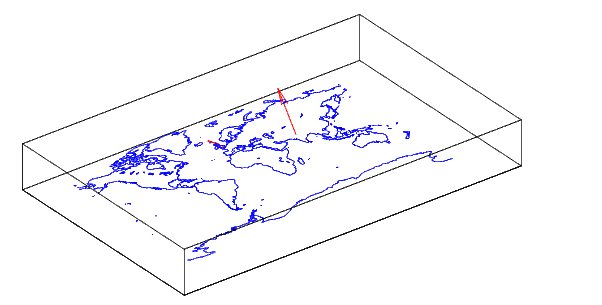
Plot 3-D quiver vectors from London (51.5°N,0°) and New Delhi (29N,77.5°E), both at an altitude of 0. Suppress the automatic scaling. Terminate both vectors at an altitude of 1; the London vector should terminate 100° southward and 70° eastward, while the New Delhi vector should terminate 50° northward and 10° eastward.
load coast
axesm miller; view(3)
plotm(lat,long)
lat0 = [51.5,29]; lon0 = [0 77.5]; alt = [0 0];
u = [-40 50]; v = [-70 10]; w = [1 1];
quiver3m(lat0,lon0,alt,u,v,w,'m')
See Also
quiverm |
Two-dimensional quiver plot projected on map axes |
quiver3 |
Three-dimensional velocity plot (see online MATLAB Function Reference) |
| | putpole | quiverm | |