| Mapping Toolbox | |
Calculates elevation angle between points on a geoid.
Syntax
elevang = elevation(lat1,lon1,alt1,lat2,lon2,alt2)
[elevang,slantrange] = elevation(...)
elevang,slantrange] =
elevation(lat1,lon1,alt1,lat2,lon2,alt2,angleunits)
elevang,slantrange] =
elevation(lat1,lon1,alt1,lat2,lon2,alt2,angleunits,zunits)
elevang,slantrange] =
elevation(lat1,lon1,alt1,lat2,lon2,alt2,angleunits,ellipsoid)
Description
elevang = elevation(lat1,lon1,alt1,lat2,lon2,alt2) computes the elevation angle of point 2 as viewed from point 1. The elevation angle is the angle of the line of sight above the local horizontal at point 1. Points are specified as latitude, longitude and altitude above the surface. Angles are in units of degrees, altitudes are in meters. The figure of the earth is assumed to the default ellipsoid. Inputs can be vectors of points. Elevations from a point to a line can be computed by providing a scalar point 1 and vector point 2.
[elevang,slantrange] = elevation(...) also returns the slant range between the points in units of meters.
[elevang,slantrange] = elevation(lat1,lon1,alt1,lat2,lon2,alt2,angleunits) uses the inputs angleunits to define the angle units of the inputs and outputs. If omitted, 'degrees' are assumed.
[elevang,slantrange] = elevation(lat1,lon1,alt1,lat2,lon2,alt2,angleunits,zunits) uses the inputs zunits to define the units of the altitude inputs and slant range outputs. If omitted, 'meters' are assumed. All distance units recognized by distdim are valid inputs.
[elevang,slantrange] = elevation(lat1,lon1,alt1,lat2,lon2,alt2,angleunits,ellipsoid) computes the elevation and slant range on the ellipsoid defined by the input ellipsoid. The ellipsoid vector is of the form [semimajor axes, eccentricity]. If omitted, the default ellipsoid for the earth is assumed. The altitudes are input and the slant range is returned in the units of ellipsoid(1).
Example
What is the elevation angle of a point 90 degrees distant when both the observer and target are 1000 km altitude above the Earth?
lat1 = 0; lon1 = 0; alt1 = 1000*1000;
lat2 = 0; lon2 = 90;alt2 = 1000*1000;
elevang = elevation(lat1,lon1,alt1,lat2,lon2,alt2)

elevang =

   -45
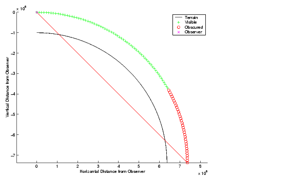
Visually check the result using the los2 line of sight command. Construct a matrix map of zeros to represent the Earth's surface. The los2 command with no output arguments creates a figure displaying the geometry.
See Also
azimuthCalculates azimuth between points on a geoid
| | ecc2n | ellipse1 | |