| Mapping Toolbox | |
Coastlines
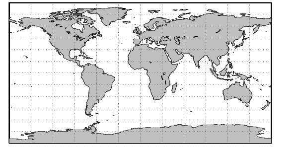
The coast MAT-file contains a set of vector shorelines intended for global displays in which political boundaries are not required. The data is stored in vectors of latitude and longitude, consisting of nearly 10,000 points. While this a considerable quantity of data, it is of very low resolution by cartographic standards.
The dataset is in patch format, meaning it has polygon segments that return to their starting points and can therefore be usefully displayed using patch commands. The polygon segments are separated by NaNs into about 240 faces. The data can also be displayed as lines or points.
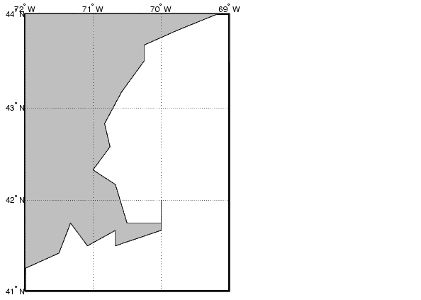
The resolution for this dataset makes it ideal for global-scale displays but inappropriate for significantly smaller regions, as can be seen when the region around Cape Cod in the northeastern United States is displayed. This is, incidentally, the area covered by the cape MAT-file provided with MATLAB.
figure
axesm('MapProjection','mercator',...
    'MapLatLimit',[41 44],'MapLonLimit',[-72 -69])
framem
gridm('MLineLocation',1,'PLineLocation',1);
mlabel('MLabelLocation',1)
plabel('PLabelLocation',1)
patchesm(lat,long,'FaceColor',.75*[1 1 1])
| | Atlas Data | Low-Resolution World Atlas Data | |